Introducing our marine team’s partnership with SAND Geophysics
SafeLane’s marine team have spent the last three years working alongside and developing an exciting relationship with SAND Geophysics to utilise the most efficient technical approaches.
SafeLane’s marine team have spent the last three years working alongside and developing an exciting relationship with SAND Geophysics.
Introducing SAND Geophysics
Based in Southampton, the expert teams at SAND Geophysics are specialists in seabed and near-surface detection. They offer a range of surveying capabilities including:
- 3D chirp,
- high resolution seismic,
- sidescan, and
- magnetometer.
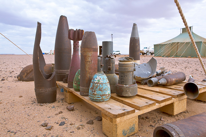
Our marine team has been working in partnership with them, utilsing their 3D chirp surveying technologies to conduct successful, cost effective unexploded ordnance threat mitigation surveys for clients.
But what is 3D chirp and why have we been using it?
What is 3D chirp?
A technique developed by the University of Southampton and Kongsberg GeoAcoustics, 3D chirp is an acoustic surveying technique that enables the detection of both ferrous and non-ferrous buried objects.
This means the technique has the capability to detect all materials including metals, wood, rope, and rubble – and it can rule in, and more critically rule out a lot of otherwise potential unexploded ordnance targets compared to a more traditional magnetometer survey.
Any data captured - both seabed and subsea bed - can be processed and mapped utilising 3D imagery, providing highly detailed target positions as well as critical information about the characteristics of buried objects.
The benefits of 3D chirp
SafeLane’s marine team’s core aims are always to protect personnel, assets, and the environment. Working with SAND Geophysics means they are able to further enhance their excellent in-house skills to deliver the following benefits for clients…
Data driven UXO decisions
The enhanced information that 3D chirp surveys deliver relating to materials encountered during surveying allows clients to make informed decisions about the potential UXO targets within their survey area.
Suitable in challenging environments
If your project is taking place in a contaminated or built-up environment - such as in a harbour - a traditional magnetometer survey would be inundated with ‘noise’ as a result of all the ferrous material encountered.
This means data collected utilising other survey techniques would be ineffective in reducing the number of potential targets needing diver assessment, resulting in a costly problem.
Time saving
Adding in a 3D chirp survey may add some additional time upfront, but the extra detail delivered can reduce the number of targets that need investigating by up to 98%! This saves clients time in the long-run, and it also saves them significant costs as diver investigation operations of targets are typically more complex, time consuming and expensive – but with 3D chirp, the number needed can be vastly reduced.
Increased safety due to enhanced information
The increased target information a 3D chirp survey delivers can provide insight into previously undetected risks, such as highlighting non-ferrous potential ordnance targets. This further helps protect personnel, assets, and timelines.
Less water time for divers
The health and safety concerns for UXO divers are significant. Our marine team typically recommends utilising all methods possible to limit the amount of time divers are required to spend in water to subsequently reduce the risks they face.
Utilising 3D chirp technology can limit the requirement for high-risk diving operations to survey potential targets – because it reduces the number of potential targets!
We are excited to be further developing our relationship with SAND Geophysics to provide enhanced survey results to our clients. We recently worked together on the Gull Wing river crossing in Lowestoft, and look forward to sharing more information on the surveying work done to support this infrastructure development.
Find out how we can help you