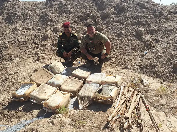
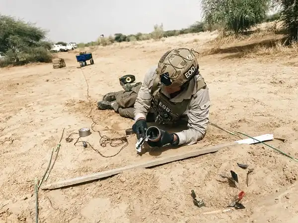
Project Masam 9th year extension
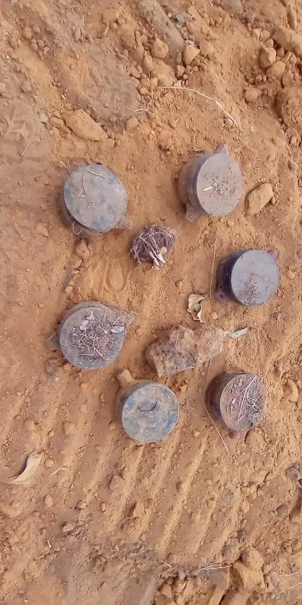
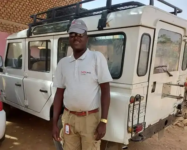
Project Masam in Yemen Expanded into its 9th Year of Operations
SafeLane Global’s experienced senior leadership team provides unique, expert information and comment to deadline. Its experts are regularly quoted in the international, national and trade press.
Headquartered in the UK and Germany, comment or opinion can be offered in English or German. Explore news updates, blog posts, publications and events updates from SafeLane below.
SafeLane Global’s regular news updates highlight the difference it makes for communities and its clients around the world – every single day. The updates also include the latest events SafeLane Global will be attending – and showcase what life is like as a member of the SafeLane team.
If you would like SafeLane Global to offer comment, please contact the marketing team.
Project Masam in Yemen Expanded into its 9th Year of Operations
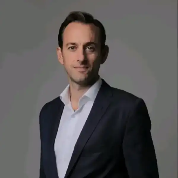
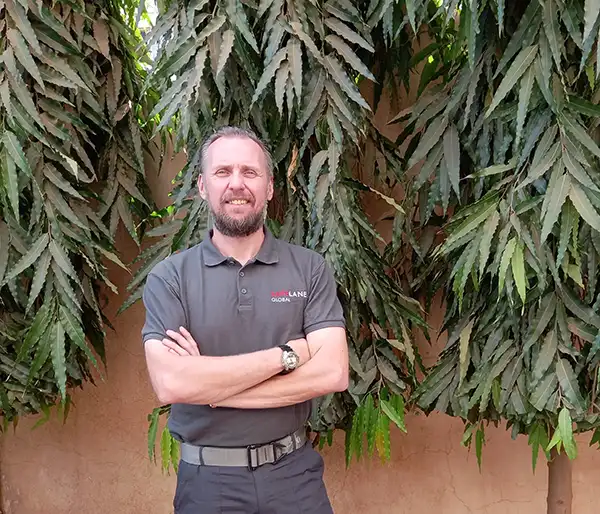
Highly experienced and distinguished former British Army Officer Tim Illingworth is taking the reins; current CEO Rob Hunter will step across to exclusively lead Igne, ensuring…

We, as a species, are reliant on the ocean. Discover why the ocean is such an important asset - providing jobs, a wealth of biodiversity, and sustainable energy. Featuring…
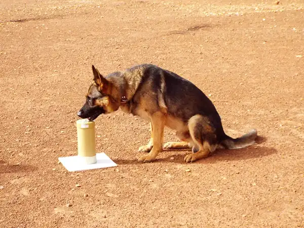
Today we celebrate Digital Media Detection Dogs after Hertz, a German Shorthaired Pointer, won a PDSA Dickin medal. Digital Media Detection Dogs are trained to locate concealed…
World Patient Safety Day falls on the 17th September annually – it’s to raise global awareness for the reduction of patient harm. SafeLane's highly qualified field staff …
Last month, SafeLane’s deminers in Mozambique took on an unusual job to keep the local community safe in the Govuro District in Inhambane Province. They worked to remove…
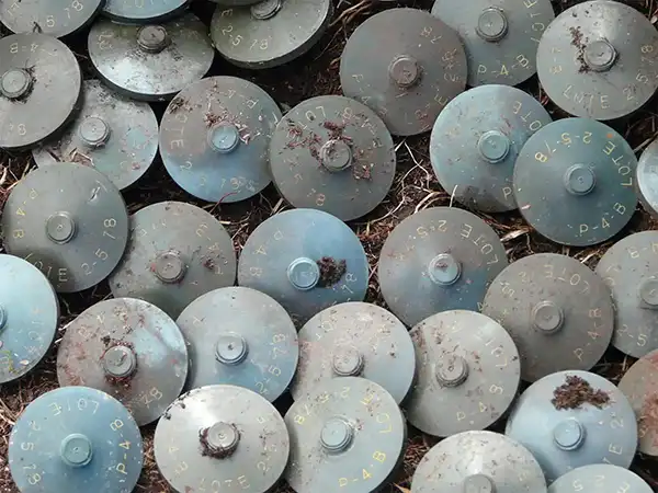
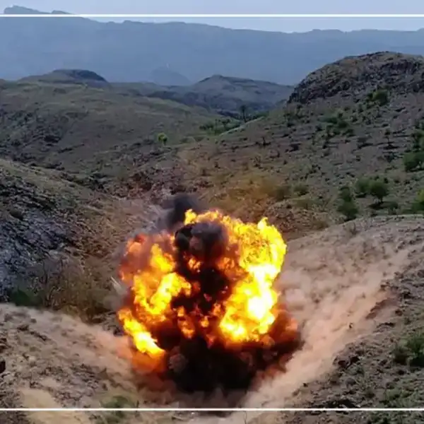
The Kingdom of Saudi Arabia has extended the essential Saudi Project for Landmine Clearance (Masam) for another year.
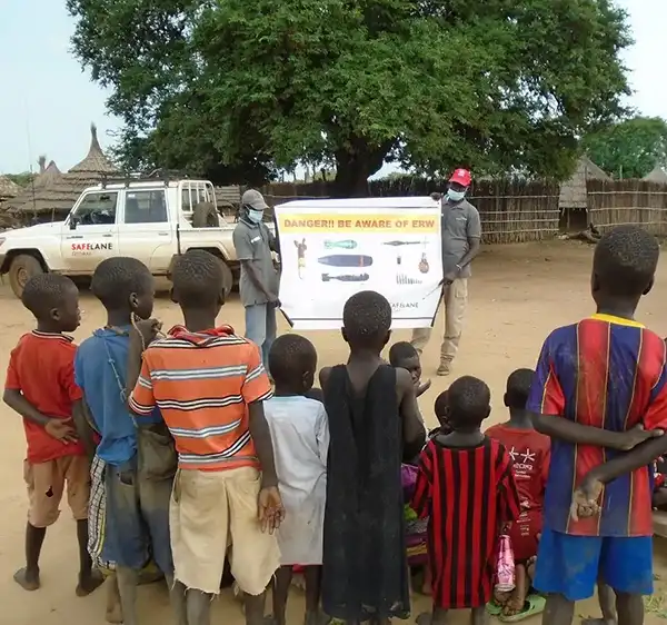
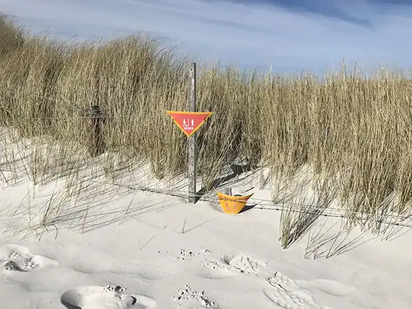
The nature of the explosive threat mitigation work SafeLane undertakes can of course be dangerous – community engagement is therefore critical for several key reasons…
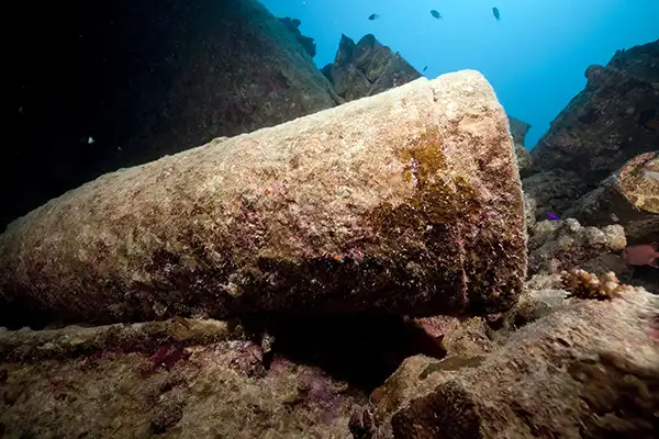
In this subject matter expert opinion piece by SafeLane’s Marine Director Ryan Prophet, he explains how seriously the protection of the fragile marine ecosystem is taken – …
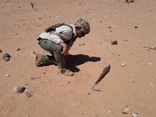
Explosive Ordnance Disposal (EOD) Assistant Mahmoud Abakir Ezairig explains how past experience motivated him to join the mine action sector. #MineActionApril
Find out how Samuel’s skills help contribute to mine action work, created safer spaces in South Sudan.
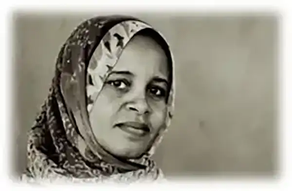
Mine action is traditionally male dominated; but we’re making strides to change this gender imbalance and make the sector more accessible to women like Salma. #MineActionApril…
Ashley Le Boydre, a SafeLane EOD Mentor from Australia, describes the far reaching, positive ripples of mine action operations. #MineActionApril
EOD Mentor Team Leader Christian Jansson explains the differences that mine action activities make to local communities. #MineActionApril
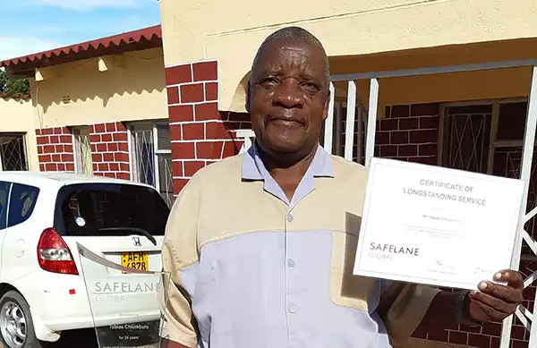
Today we’re honouring Tobias Chiumburu, our longest-serving, legendary Explosive Ordnance Disposal Operator and Mentor who served the mine action sector for 24 years before…
As part of our mine action series, Deminer Abdelahi Muesa shares with us what it's like to contribute to demining efforts in Western Sahara.
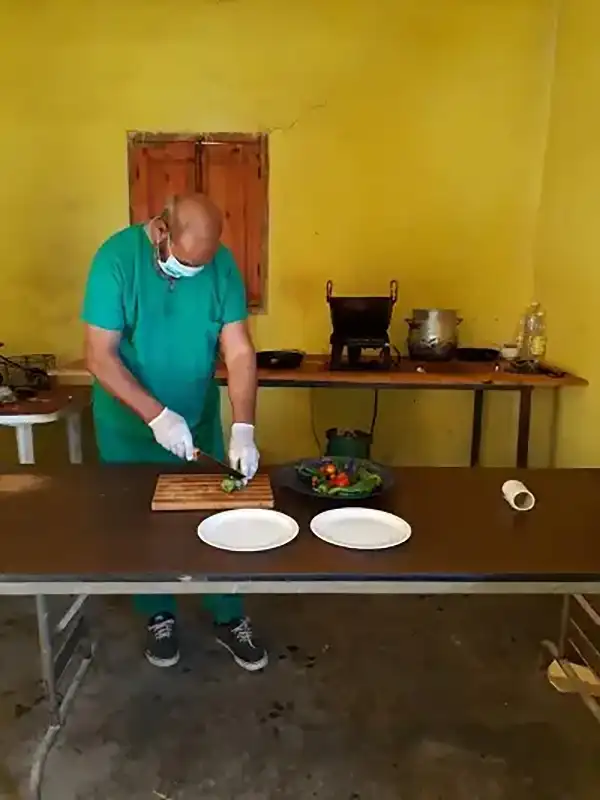
Ibrahim is a dedicated cook working to support humanitarian mine action in Western Sahara. During lockdown, Ibrahim kept the team fed for 200 days! He kindly spent some…
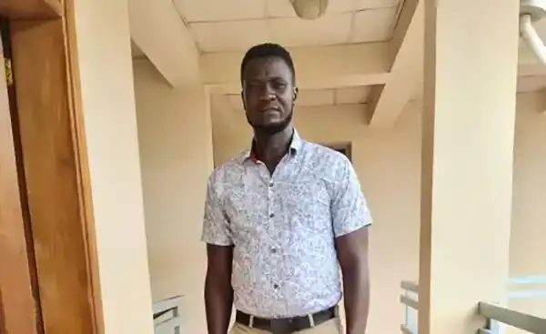
As part of our International Mine Action Day series, we asked Abdel Moneim El-Tayeb about his logistics role in Sudan and what made him want to work in this sector. #MineActionApril…
From Ammunition Technician to Mine Action Project Manager in Mali: documenting the inimitable career of Chris ‘Yogi’ Lawrie. #MineActionApril
As a long-term mine action operator, we're showing our commitment to the UN's Mine Action Day 2021 by dedicating this entire month to celebrating the mine action achievements…
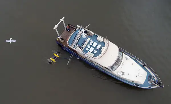
SafeLane’s marine team have spent the last three years working alongside and developing an exciting relationship with SAND Geophysics to utilise the most efficient technical…
It's companies that care day: so let's celebrate our colleagues who’ve taken time over the last 12 challenging months to raise money to help others.
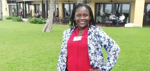
International Women’s Day 2021 is focused on choosing to challenge, making it the perfect day to shine the staff spotlight on Marta Macanda, SafeLane’s Office and Finance…
Leaving the armed forces can be a daunting prospect; navigating the move back to civilian life can result in a lot of uncertainty. At SafeLane Global we take pride in supporting…
Clearing contaminated lands and marine environments